The Geologist Drones… Mapping Earth from the Sky


Several studies on the earth are effectively conducted following the use of a wide variety of tools since geological processes occur at all spectrums. Discoveries in science technology often align with the rapidly changing advanced of tools used in recording measurements and observations. In many cases, such technological changes allow scientists to detect the latest discoveries. Tools that started the revolution of studying the planet earth are generally referred to as drones and are used in different modes of photography. Remote sensing and the likes of aerial photography produce essential information to a client in the field-based hypothesis.
Data related to landforms and topographic features that are deemed extensive on the ground level can help a geologist understand the measurements and be able to crop a scale to fit in a broader regional image or picture. Drones effectively highlight monitoring processes on the earth’s surface (such as landslides and erosions), evaluating geological hazards, managing water bodies, and constructing geological maps that aid in tracing up-to-date data and earth’s surface observation.
The integration of geological process requires a significant earth framework that accommodates geologic interpretation features, errors in measurement, and the topographical rules not to mention the physical rock properties and field mapping estimations (FitzGerald,2019). In this regard, the automation of AI study is key to addressing such individual problems and realizes plausible models; however, the limiting factor adjourns at technical complexity and ensuring proper communication within geology teams.
A magnetic survey is a critical technique that is particularly suitable for identifying surface archaeological remains and is responsive to small-scale geological variations; hence can be utilized to locate petroleum prospects in the oil and gas industry. Given that it characterizes geophysical mapping, drones can be an effective method to trace the anomalies of objects possessing magnetic properties. Aeromagnetic surveys are typically conducted in regular patterns within framed distances between measurement points. In light, drones are beneficial, considering their flexibility and ease of control to mark scales and interpret data correctly.
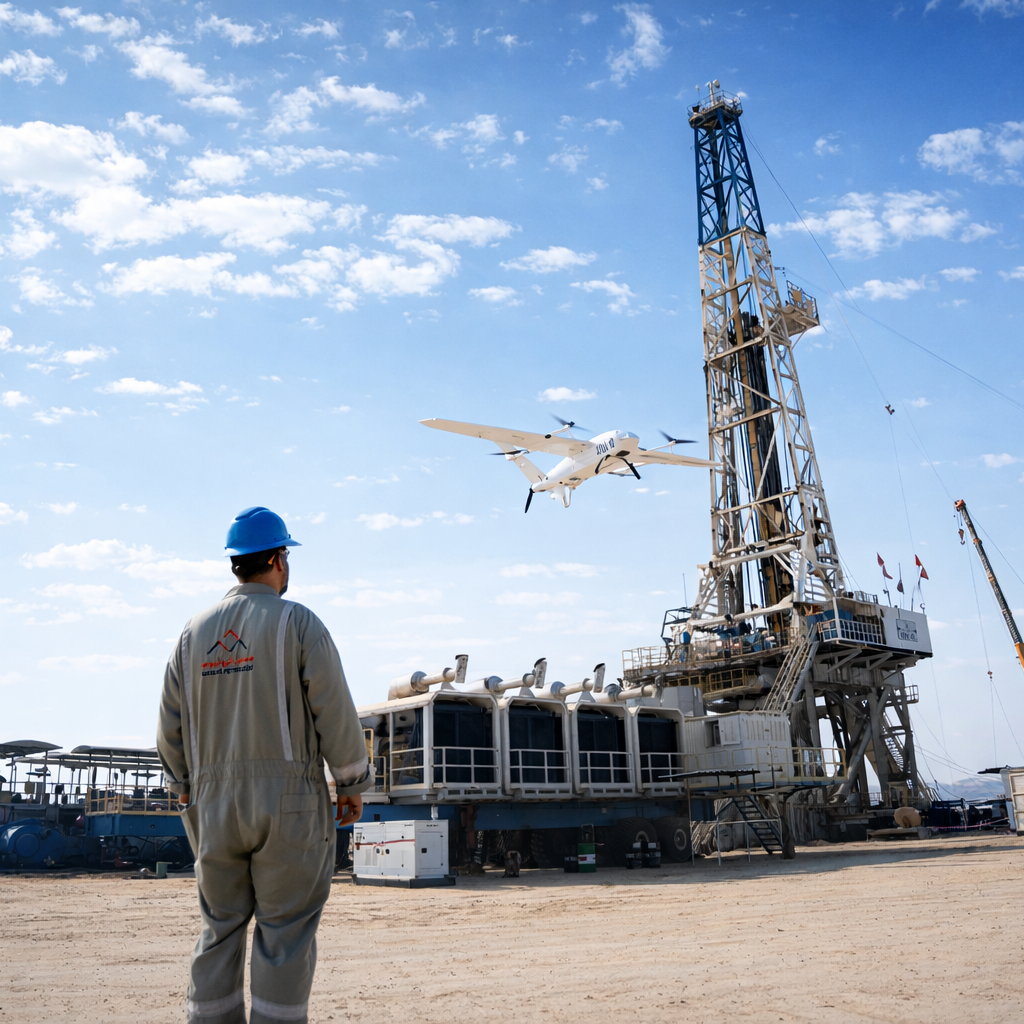
Therefore, drones are important in a magnetic survey considering their ability to work on lower grounds. Such flexibility is key to the geological interpretation of the magnetic anomalies, considering the magnetic field's weakness as the distance increases from the source. Drones are economical and easy to handle in survey regions following the rationed costs on services since they require little expense in transportation and usage. When conducting a magnetic survey, a lightweight magnetic field sensor (magnometer) is attached to the drone using a string or a unique bar to minimize the noise produced by the drone, as shown in Fig. 1.1.

Drones can also be applied in geospatial engineering where engineers can collect accurate spatial data on raised grounds. The survey drones reduce risky situations that geologists and surveyors encounter and help boost quarry productivity by improving planning and inventory management.
Drones present clear coverage and the scale of observation considering their importance when access to the ground is costly, impossible, or dangerous. They are instrumental in capturing images on the earth’s surface as well as continuously reflecting on the sunlight spectrum in the infrared areas. Equally, by using survey drones, subtle variations in the measured prospects can be utilized in determining the composition and abundance of crucial minerals within the earth’s crust. For instance, they analyse magnetic anomalies, which can dictate the presence of iron particles related to mineralization. In this regard, significant players on field survey can highlight economic mineral deposits to make substantial investments in geology. Drones are crucial in mineral exploration as they offer efficiency, safety, and sustainability in the provision of advanced metals required in the globalized society.