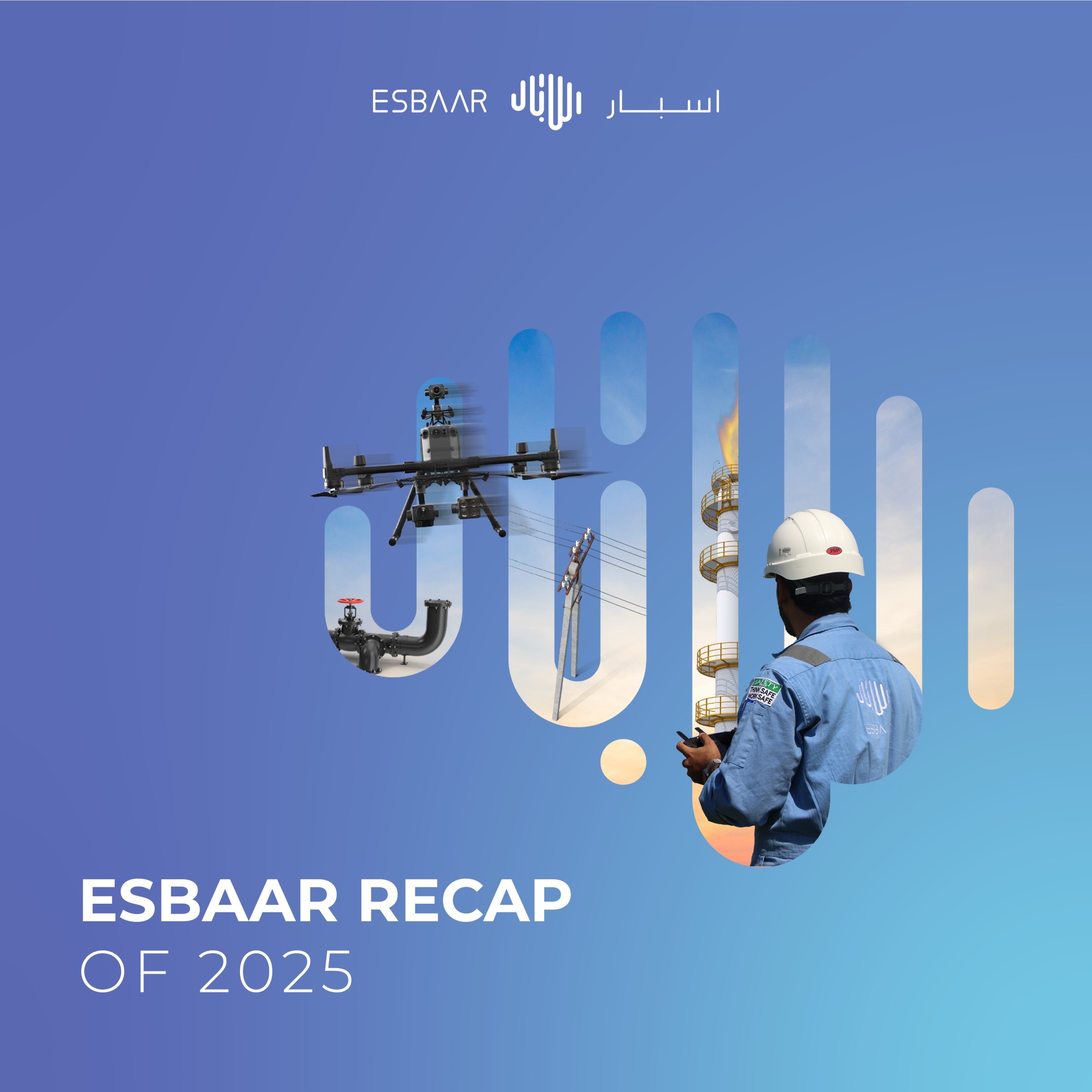
Bringing the Underground to Light: Drone-Based GPR Surveys in Oman by ESBAAR


What’s Drone-Based GPR All About?
At ESBAAR, we’re always exploring new ways to deliver smarter, safer, and more accurate services for our clients across Oman. That’s why we’re excited to introduce Drone-Based Ground Penetrating Radar (GPR) surveys—a modern approach to subsurface exploration that’s already making a difference in Muscat and beyond.
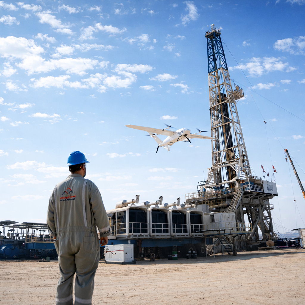
Ground Penetrating Radar (GPR) is a non-invasive method that uses radar pulses to "see" beneath the surface. When mounted on drones, this technology allows us to carry out surveys from the air—making the whole process faster, safer, and easier to access in rough or remote areas.
Why It Matters – Benefits at a Glance
✅ Better Safety
We can now collect underground data without putting people in dangerous or hard-to-reach places—like rocky terrain, wadis, or heavily vegetated areas.
✅ Faster Results
Drones cover ground quickly, cutting down the time it takes to collect data—perfect for large-scale projects across Oman.
✅ Accurate Subsurface Mapping
With advanced GPS and high-resolution sensors, we’re able to deliver detailed underground imaging to help detect voids, buried utilities, and other hidden features.
✅ Low Environmental Impact
Because we stay off the ground, there’s minimal disruption to the natural environment—especially important in sensitive zones and heritage areas.
Where It’s Making a Difference
From infrastructure and energy projects in Muscat to environmental studies and archaeological work across Oman, drone-based GPR is opening new possibilities for:
- Construction planning – Locating underground pipes and cables before breaking ground
- Archaeological exploration – Examining historical sites without disturbing them
- Environmental surveys – Assessing soil and identifying subsurface changes
Why ESBAAR?
We’re not just bringing in the latest tools—we’re putting them in the hands of skilled experts who know how to deliver useful, reliable results. Our team is trained to handle drone and GPR systems with precision, giving you the insights you need to move forward with confidence.
Let’s Talk
Planning a project that needs a closer look beneath the surface? Our drone-based survey and mapping services are ready to help.
📩 Get in touch with us today to learn more.